
The Geospatial Support Group (GSG) is a small group of staff using Geographical Information Systems (GIS) solutions to address a wide range of geographical research issues. The GSG is supported by the Map and Image Library )MAIL) a resource centre in the Department of Geography and Geology (DOGG) serving its primary clients of students and staff of the department. The MAIL also serves external clients from within the wider The University of the West Indies (UWI) community and outside of The UWI.
Clients are able to access topographic, geological, planning and bathymetric maps of Jamaica as well as a wide range of physical map products from various countries in the Caribbean and major continents. In addition to maps, the MAIL also houses a near complete set of the 1961 black and white aerial photographs of Jamaica as well other location and time specific aerial photographs of Jamaica. In 2016, the MAIL acquired the Royal Holloway, University of London Aerial Photograph Collection, which comprises approximately 10,000 aerial photographs of former British colonies captured between the 1940s and 1960s including the World War II period and immediate pre-independence years. A teaching collection of stereoscopic pairs of aerial photos illustrating geomorphological landform features is also available.
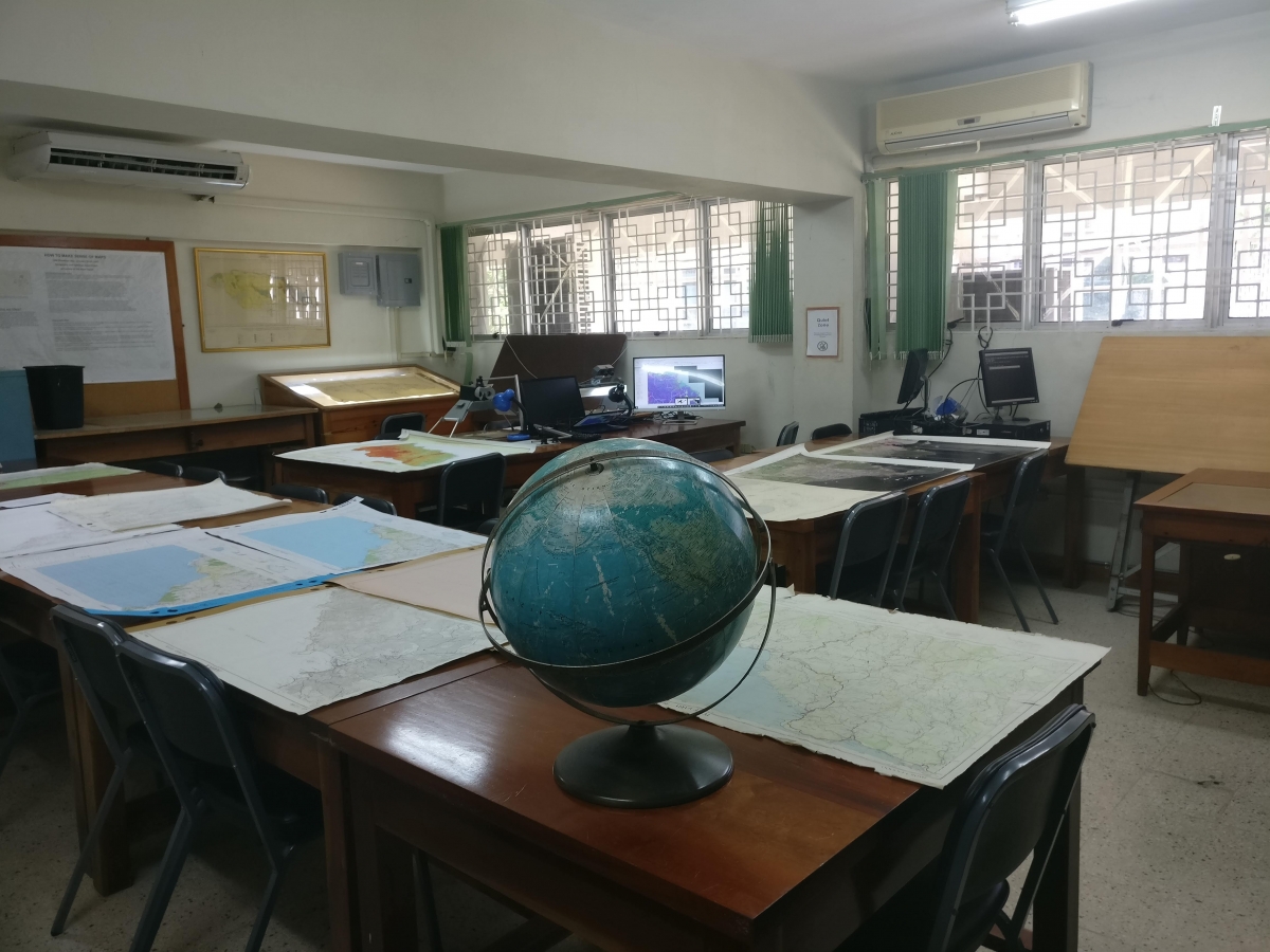
Light tables and tabletop mirror stereoscopes are available for aerial photo and map interpretation work. Internet access is via LAN cables located along the southern reading room wall.
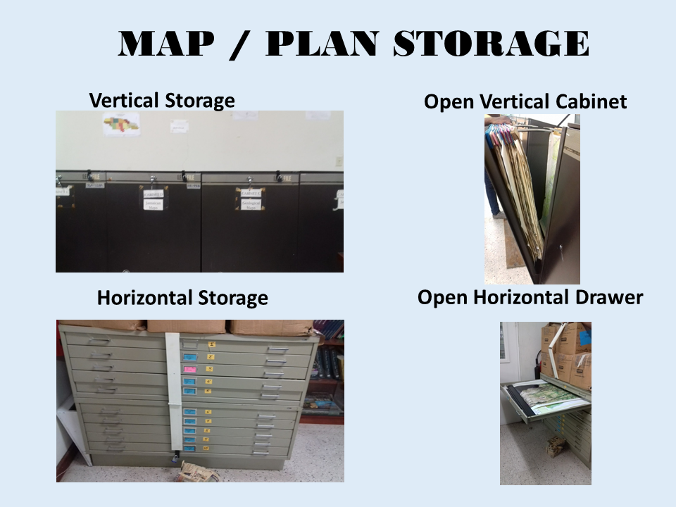
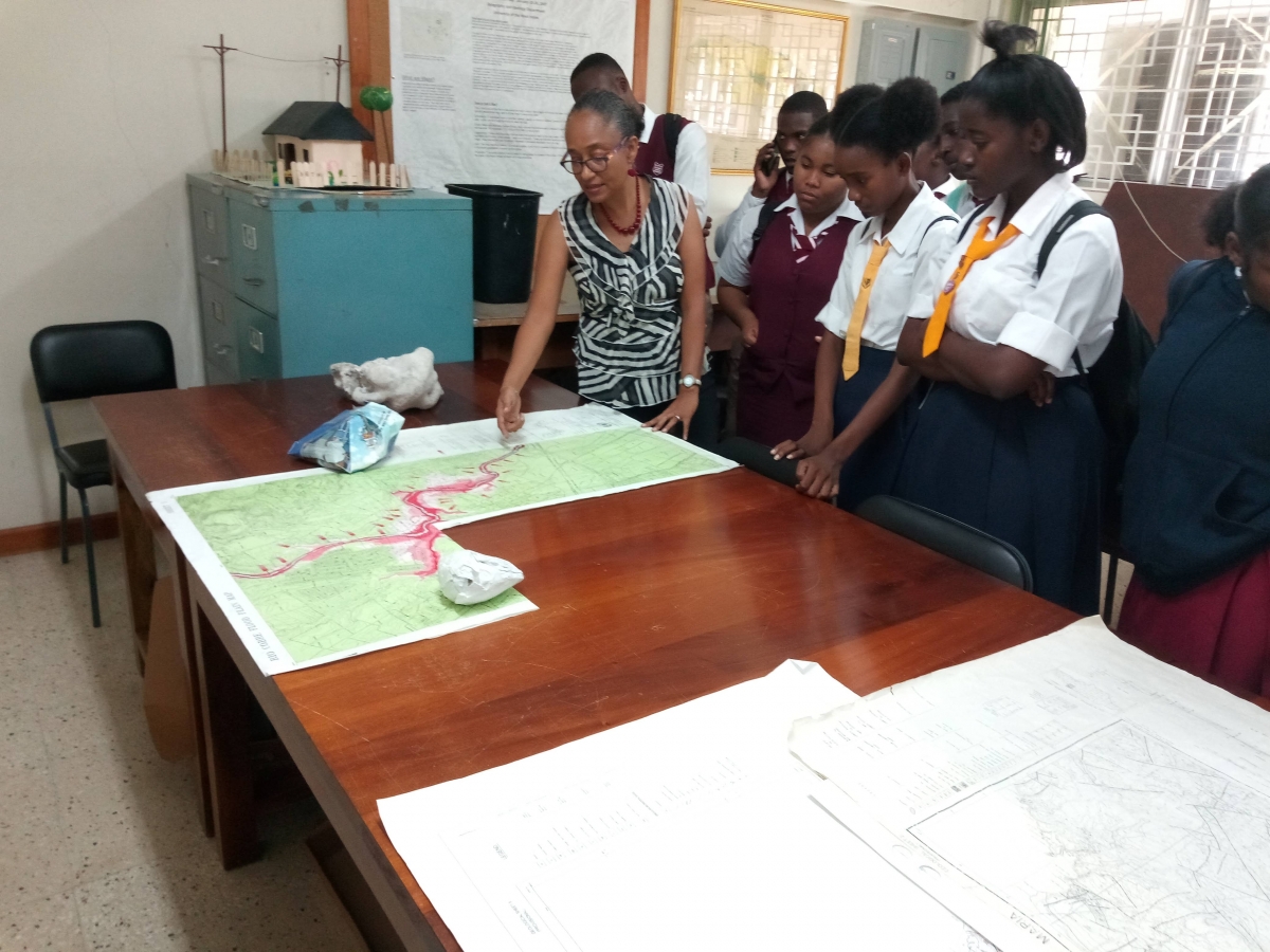
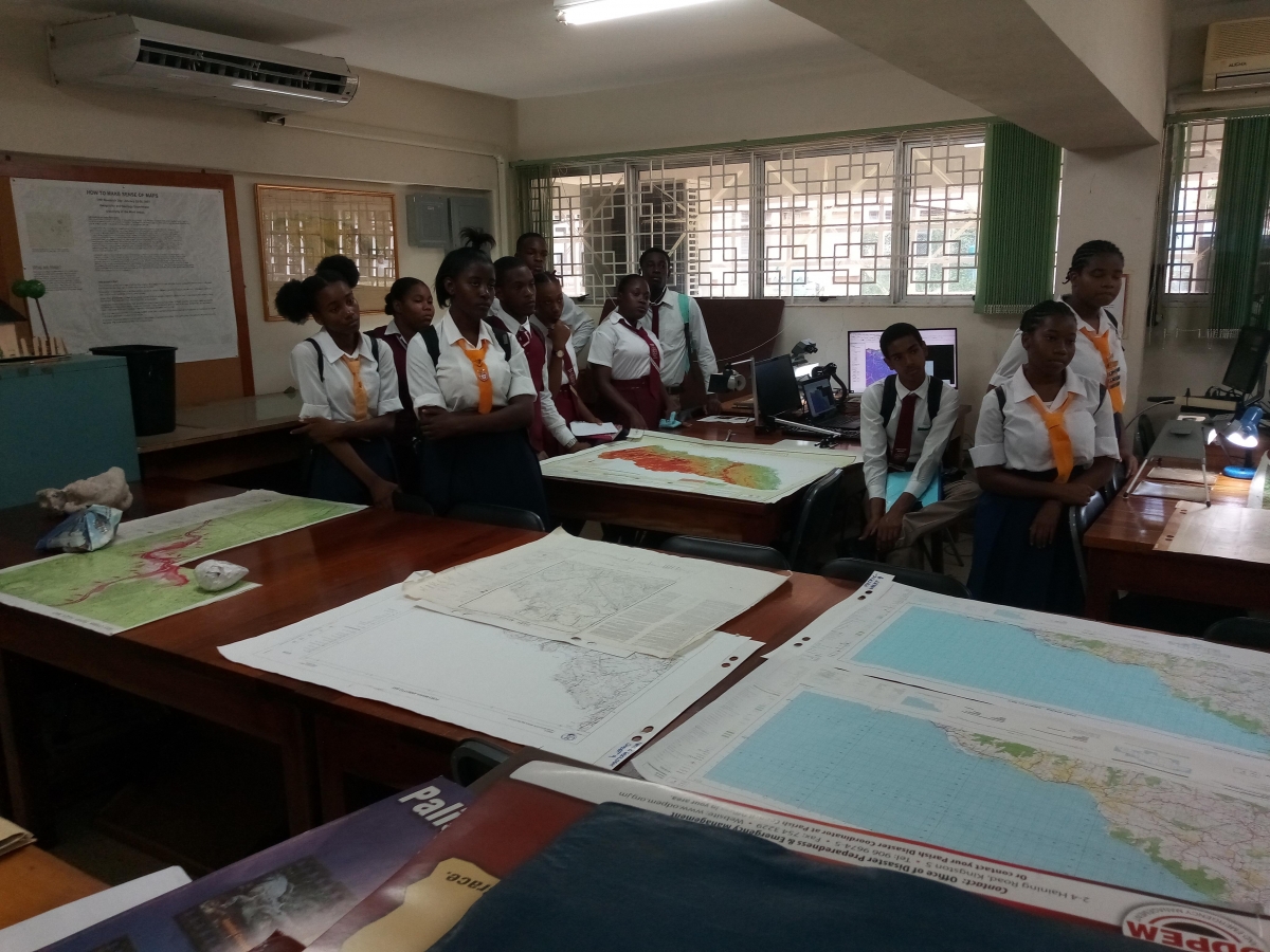
The Map and Image Library is located on Building B of the Department of Geography and Geology. It consists of an air conditioned main reading room area containing tables, chairs, large light tables, six vertical map storage cabinets, two horizontal map storage drawer units and a glass front locked book case. This main area is supported by a Curator’s Office where course readings for loan and other special collections materials are stored. Building B also accommodates the Marine Geology Unit and the Centre for Marine Sciences.


Our 7 faculties and 12 professional schools offer more than 200 programmes to some 18,000 graduate, undergraduate and continuing studies students.
The UWI, Mona ranks first in Jamaica among accredited tertiary-level programmes. In 2012, the University was again one of Jamaica’s Top 100 Employers.
© Copyright 2014-2026 | Disclaimer | Privacy Statement